Meet the Scientist

‘Meet the Scientist’ is a short feature series in which we get to know the people behind the work done at Borneo Futures

Meet the Scientist

Capai: Growing a Biodiversity Monitoring Ecosystem – Copy

Verifying Borneo’s Biodiversity: Where Technology Meets Human Expertise The power of citizen science lies in the sheer scale of biodiversity data that non-specialists can generate; verification is what makes those observations scientifically reliable. In an incentivised citizen science programme, such as KehatiKu, verification is also one of the most important and resource-intensive parts of the system. Every observation must be assessed before it can be accepted into the verified dataset and a payment made to the observer.   The verification system has evolved significantly since commencement two years ago. The project lead explains that, at the start of the project, verification was relatively straightforward, with only 30–50 observations submitted each month. At the time, the payment system was in a testing phase and only applied to observations of orangutans and orangutan nests, and verifications were performed manually using an Excel spreadsheet.   Burung Nendak (Copsychus malabaricus), Labian, photo by: Marselinus Linus Once we were confident that the incentive-based approach was working and generating sustained community participation, additional species were selected through consultation with participating communities to reflect local priorities. These included culturally significant species, particularly traditional omen species, as well as species of conservation importance.   As the programme grew, we also needed a more systematic way to manage the verification process. Our lead developer therefore created the KehatiKu dashboard, now the foundation of our verification work. The dashboard provided a centralised system for verification, allowing multiple users to support and oversee the process.   KehatiKu Dashboard – verification view The publication of the dashboard coincided with a ‘special month’, when payments were also included for observations of plants, fungi, and orchids. The response was dramatic, with observations reaching up to 20,000, creating a significant verification backlog that warranted a transformation of the system.   At this point, only two members of the team were performing manual verifications, but we brought on three new biodiversity staff to help clear the backlog. A new grant from the Arcus Foundation enabled KehatiKu to expand into five additional villages, substantially increasing the flow of observations. With the programme growing in both scale and complexity, it became clear that manual verification alone was no longer sustainable and AI-assisted verification would be essential.   Tupai/Engkerabak (Callosciurus prevostii), Nanga Embaloh, photo by: Saiful Redha Parma Today, the core verification team consists of five members, supported by a network of external verifiers with regional or specialist taxonomic expertise. Together, the in-house team completes around 3,000 manual verifications per week, while external verifiers help reduce the workload and ensure observations can be processed efficiently and in a timely manner, particularly those eligible for payment.   Our IT team is constantly working to enhance the programme’s AI capabilities as the volume and nature of the incoming observations evolves. The verification process is largely automated, meaning that every observation undergoes AI screening for species identification and potential issues such as clustering, while observations that cannot be confidently verified by AI proceed to manual review by the team. This data flow has dramatically reduced the verification burden.   Despite the significant benefits AI has brought to the programme, the team is quick to highlight that AI will never replace human expertise. People are still needed to review uncertain or unusual observations, check the accuracy of automated decisions, and continually improve the system as new challenges emerge. As the team leader explains it, “AI improves efficiency, it doesn’t replace people.”   Kera Ekor Panjang (Macaca fasciularis), Nanga Palin, photo by: Winda Saputri This human role becomes even more important with the introduction of our new flagship mobile phone application, CAPAI, where the verification process is much more transparent. Observers are able to see the verification status of their submissions and receive feedback on observation rejections, making it crucial to have people at the other end of the system who can address grievances in ways that AI may not be able to.   CAPAI is also set to improve our in-house verification process more broadly. The application improves data quality from the outset, looking for duplicate and fake observations, while its offline functionality ensures that time and location data are recorded automatically when an observation is made, regardless of connectivity, critical when most observations are made deep in the forest.   Kangkareng Perut-putih (Anthracoceros albirostris), Nanga Embaloh, photo by: Edi Edi For the verifiers, one of the most rewarding aspects of the work is the opportunity to keep learning. Even with a background in biology, there is always more to discover, from learning about unfamiliar species to recognising local variations in bird calls. For some, the work also carries a particular sense of responsibility: as people from Borneo with backgrounds in biodiversity, they see value in contributing their knowledge to documenting the region’s wildlife.   The work also provides an opportunity to apply academic knowledge in a way that has a tangible impact. As verified observations feed into occupancy modelling and species indices, the verification team can see how their work contributes to a much broader understanding of Borneo’s biodiversity. As one observation verifier put it, “It’s an honour to be part of the team that is bringing light to the biodiversity of Borneo while supporting the livelihoods of local communities.”   While it can be time-consuming and repetitive, verification is ultimately rewarding work. By combining species knowledge, local expertise, technology, and analysis, the team can turn thousands of individual observations into reliable biodiversity data, and ultimately, a better understanding of Borneo’s biodiversity and the communities documenting it.

Meet the Scientist

Capai: Growing a Biodiversity Monitoring Ecosystem

Capai: Growing a Biodiversity Monitoring Ecosystem Building technology is one thing; seeing it adopted by the people it was designed for is another. In the final two weeks of July, Borneo Futures rolled out its  proprietary Capai citizen science smartphone application across the nine villages currently participating in our KehatiKu community-based biodiversity monitoring programme. Over the course of two weeks, the team travelled village to village, training  observers and migrating them to the new app, marking a major milestone for the programme. Capai Training for KehatiKu Observers Capai forms the front end of the Borneo Futures biodiversity data platform, capturing field observations, and feeding them into an integrated pipeline for verification, analysis, and reporting.  Developed entirely in-house, Borneo Futures is responsible for every aspect of the platform, from backend architecture and maintenance to ongoing feature development. The application lies at the heart of our growing technology division, which now employs 7 software developers, engineers and IT specialists.   The name Capai, meaning “to achieve” or “to reach” in both Malay and Indonesian, reflects the application’s purpose: helping communities achieve meaningful conservation outcomes while making biodiversity monitoring more accessible, accurate and rewarding.   One of the design priorities for Capai was ensuring reliable data collection in remote areas with limited  internet connectivity. While many villages have mobile reception, observers often spend long periods making  wildlife observations in remote forests without a signal. Previously, observations were only uploaded once participants returned to a village or found an internet connection, which could result in inaccurate locations.   Capai solves this problem through complete offline functionality. The moment an observation is made, its time and GPS location are permanently recorded on the device and cannot be altered afterwards. Once internet connectivity becomes available, the observation is uploaded automatically.   “The offline capabilities will have a huge benefit,” says Wano, KehatiKu Coordinator. “Not only does this improve the accuracy of data collection, but Capai also introduces secure account authentication linked to individual users, preventing users from creating multiple accounts and recording the same observation under different aliases.”   Security has also been built into the application from the ground up. Once observations have been successfully uploaded, precise GPS coordinates are automatically removed from the user’s device. This means that even if a phone were to be lost or stolen, sensitive species locations cannot be recovered. The entire platform has been designed as an auditable system, with multiple verification layers and clearly documented data flows, while also incorporating Free, Prior and Informed Consent (FPIC) principles and Standard Operating Procedures that promote safe and respectful interactions with wildlife.   According to Azizi, Borneo Futures’ Lead Application Developer, Capai has been designed with observers at its centre.   “We wanted to make the application as simple and intuitive as possible,” he explains. “Many of the processes now happen automatically behind the scenes.”   The interface adapts to both light and dark mode, supports Android devices (IOs-compatibility is in the making), and existing KehatiKu participants are currently having their historical observations migrated from the third party app previously used so they can continue using their existing records without starting again. The application itself continues to evolve, with new features being added as communities provide feedback.   Capai also gives observers far greater visibility over their own contributions. Participants can now follow the progress of every observation, from upload, through verification, to payment, in the case of the community program. They can view village leaderboards, track collective progress towards monitoring targets, access monthly newsletters, and compete for recognition through initiatives such as “Photo of the Month.” Top three photos from July 2026 in the public KehatiKu newsletter “People really care about the photos of the month,” Wano explains. “Observers receive additional payments for these, and it gives everyone extra semangat, extra motivation.”   Digital payments are expected to be introduced over the coming year once an appropriate third-party payment mechanism has been integrated. Until then, payments will continue to be processed manually.   Even so, observers can already see exactly how much they have earned and when payments are expected, helping maintain the transparency that has been central to KehatiKu’s success.   While KehatiKu was the catalyst for Capai’s development, its applications extend far beyond a single programme.  The platform has been designed as a flexible biodiversity monitoring system that can be adapted for community conservation programmes, research organisations and the private sector alike.   One of the first organisations to adopt the platform outside KehatiKu is HUTAN, a grassroots conservation and research organisation working in the Kinabatangan region of Sabah, Malaysia. HUTAN manages biodiversity monitoring across the Lower Kinabatangan Wildlife Reserve, a large area where traditional wildlife surveys can be challenging. All-female reforestation team at HUTAN, during an introductory training session to Capai Syafiie, who leads Borneo Futures’ collaboration with HUTAN, recently travelled to Sabah to deliver training to one of HUTAN’s all-female reforestation teams. Although none of the participants had formal biodiversity training, they were eager to learn how to identify and record wildlife.   “The response was overwhelmingly positive,” Syafiie says. “They found the application very intuitive and easy to use.”   Unlike KehatiKu, HUTAN participants are not financially rewarded for observations. Instead, the application motivates participation through recognition and community engagement. Users can follow team rankings, celebrate top observers and best wildlife photographs, receive regular biodiversity newsletters, and monitor the collective progress of their team. The platform is already being adapted for use by several private-sector clients in Sumatra. We are working both with independent smallholder farmers who are using the system to monitor both oil palm pests and wildlife, as well as major oil palm companies, where it supports biodiversity reporting and sustainability commitments alongside existing monitoring systems. In addition to wildlife observations generated by the app, the biodiversity data platform can incorporate camera trap data and high-resolution bird photography, creating a single platform capable of supporting many different approaches to biodiversity monitoring.   Ultimately, Capai represents far more than a new mobile application.

Meet the Scientist

Meet the Scientist: Syafiie

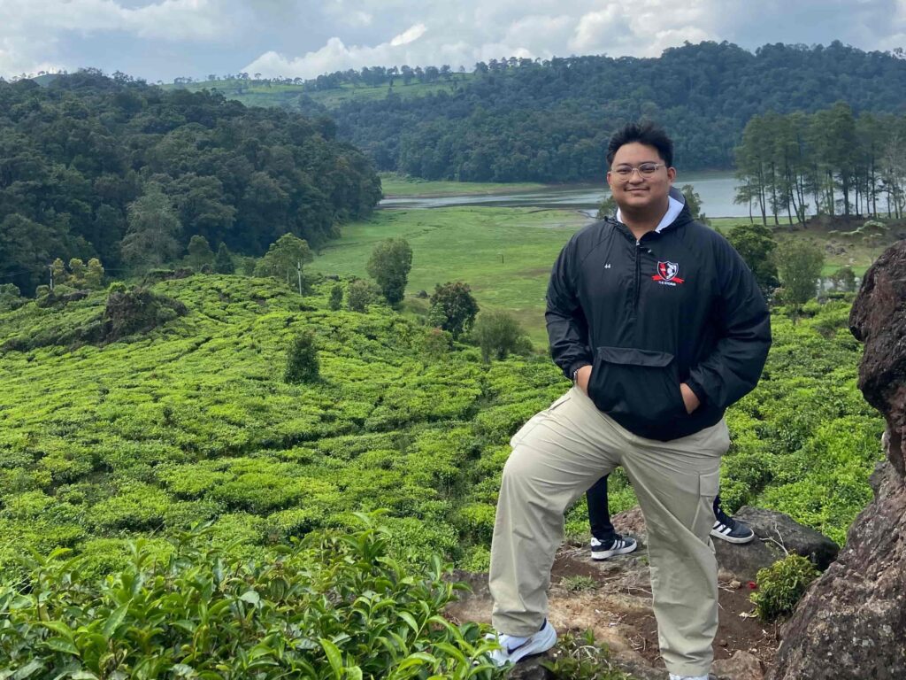
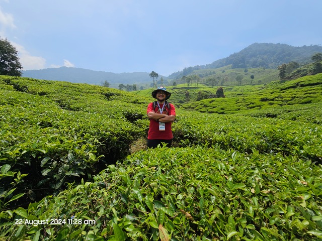
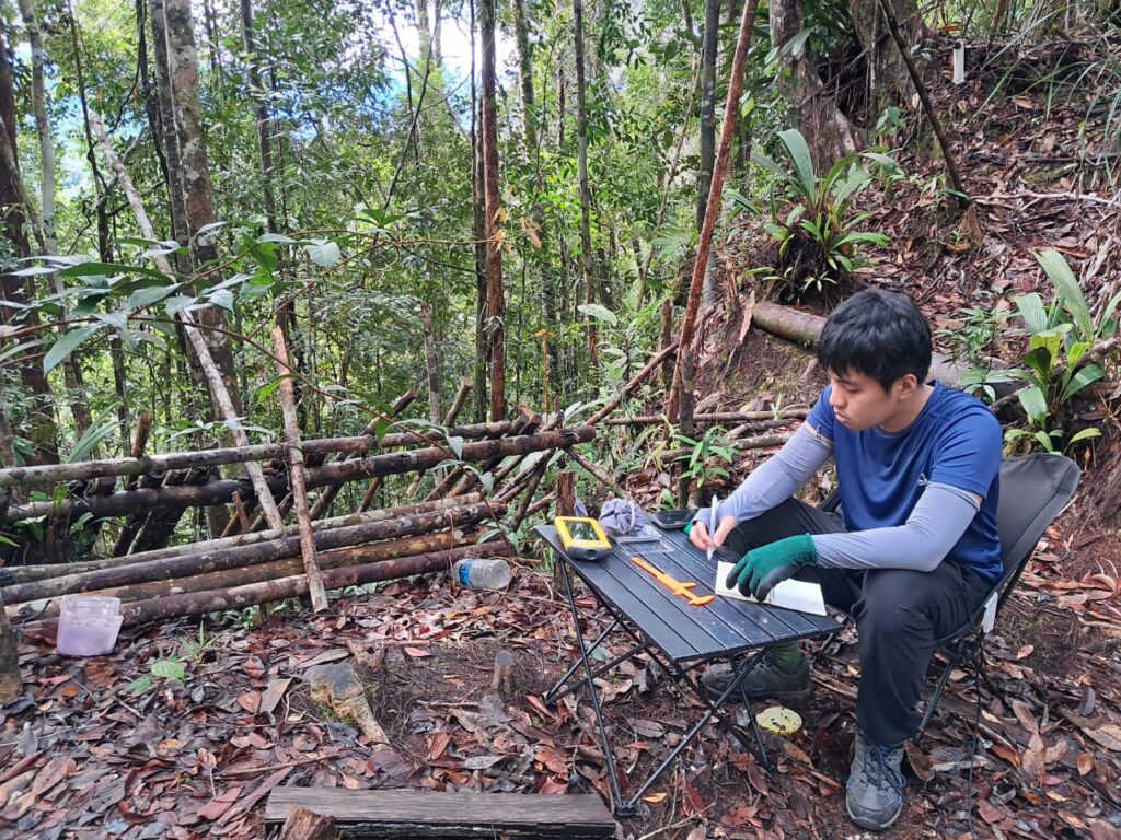
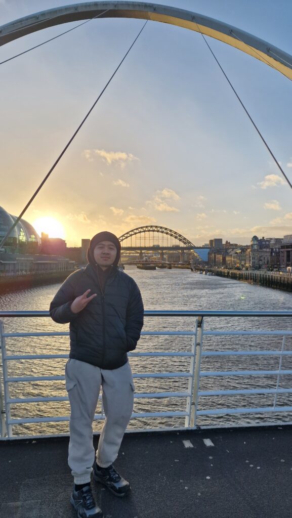
Meet the Scientist Syafiie ‘Meet the Scientist’ is a short feature series in which we get to know the people behind the work done at Borneo Futures ‘Meet the Scientist’ is a short feature series in which we get to know the people behind the work done at Borneo Futures – who they are, where they came from, and where they are going. The voices of young and junior scientists are often lost in a sector often dominated by big names and institutions. This series aims to give back the voice to the changemakers of tomorrow and showcase the hard work they do to make Borneo Futures what it is today.   In this edition of Meet the Scientist, I spoke to Syafiie, one of our biodiversity research officers. Having joined Borneo Futures in early 2024 as a biodiversity apprentice, Syafiie has now held a full-time position at the company for just over two years. His role has evolved to include a wide range of responsibilities, from overseeing the verification of our citizen science and community-based biodiversity monitoring observations to data cleaning and management. He has also become a published scientist through his work on both our KehatiKu and PENDAKI programmes.   Despite his extensive experience in biodiversity research, Syafiie initially had other plans for his career. While at school, he had always hoped to study medical science, focusing either on surgery or public health. Funnily enough, he isn’t the only member of our team with such aspirations – conservation science seems to call to a specific kind of person.   I asked him how this change in trajectory came about. He told me about his roots, and the forest-edge kampung where he grew up and still lives today. Being raised in such an environment placed nature connection as a central component of his childhood. He knew the animals and plants of his forest playground, and the constant exposure to the natural world meant it always has and always will be something very important to him.   When he finished school, Syafiie chose to study biology at Universiti Brunei Darussalam. In his final year, he studied bat ecology under Professor Ulmar Grafe, who later hired Syafiie as a research assistant at UBD. This experience taught him about camera trapping, audio recording, and species research. It was through Prof. Ulmar and this position that Syafiie found Borneo Futures, when he attended an internal seminar presented by Director Erik Meijaard.   When he first started working for Borneo Futures, Syafiie was focused on the PENDAKI citizen science programme. Gradually, as he took on more responsibilities, he worked on KehatiKu and is now taking the lead on the Borneo Futures collaboration with HUTAN.  When asked how he feels about his position, he told me:   “I really like how it has evolved. [The work] is never static; there is always something going on and new things happening. I also really appreciate the interdisciplinary team. It’s really interesting to learn from each other, and I have developed a lot of new skills, like mapping and communications strategy, from other members of the team.”   He highlights the value of this interdisciplinary team again, noting that it has supported him in developing many transferable skills for future work, particularly in AI acoustic-detection pipeline, communications, and mapping species distributions and statistics.   Syafiie, like many other members of our team, recognizes that Borneo Futures provides a unique opportunity in Brunei to work in a niche field. “I feel fortunate to work in a field related to what I studied at university. That’s not something everyone gets to do.” Because of this, he is content with remaining at the company for the foreseeable future, telling me that he “prefers to go with the flow and live one day at a time.”   Ultimately, his goal is to make meaningful changes to people’s lives. He is very proud of the progress he has seen with the KehatiKu project and greatly appreciates the tangible impact he observes when visiting villages where KehatiKu has been adopted. He acknowledges that this is a really difficult project to implement, but they have succeeded.   “It’s great to have positive feedback from villagers during site visits. It’s very fulfilling to see that they can now send their kids to school and buy stuff they need. [I feel that] we are making a real change.”   Moving forward, Syafiie is excited to explore the next phase of Borneo Futures. He believes that we can expand our methods to other countries in Asia and, eventually, Europe, with increased collaboration with the private sector. If we manage, it could mean great things for the company, the people we work with, and his colleagues who, alongside him, make our work possible.
Meet the Scientist

Meet the Scientist: Hafiz

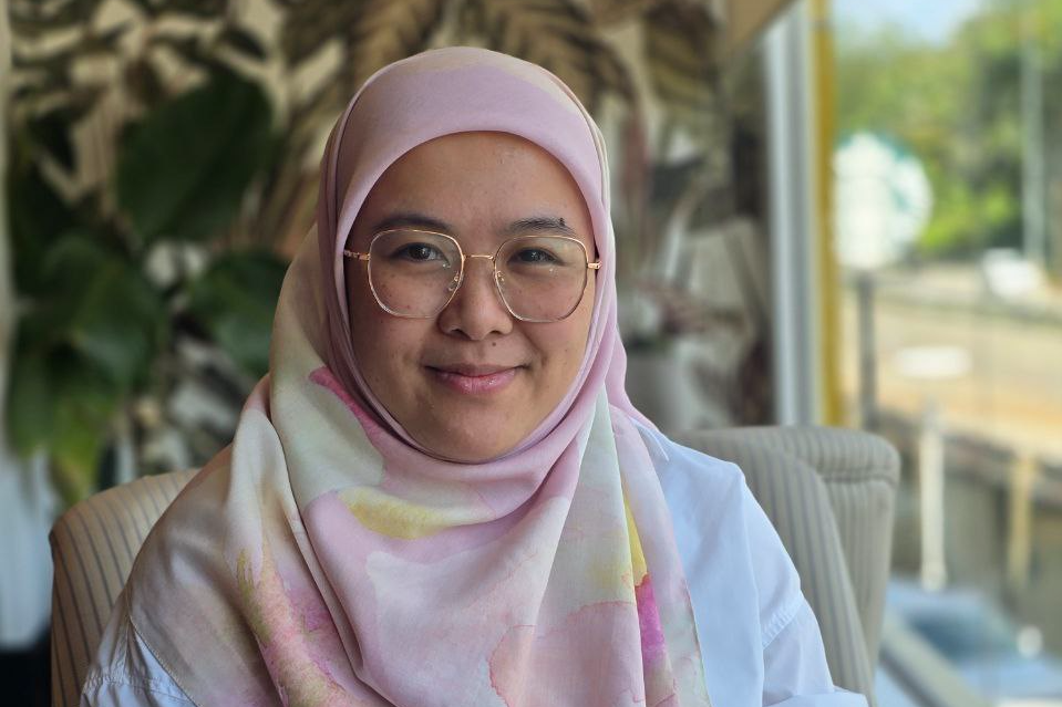
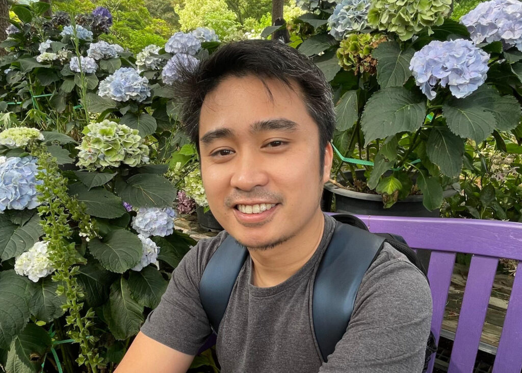
Meet the Scientist Hafiz ‘Meet the Scientist’ is a short feature series in which we get to know the people behind the work done at Borneo Futures ‘Meet the Scientist’ is a short feature series in which we get to know the people behind the work done at Borneo Futures – who they are, where they came from, and where they are going. The voices of young and junior scientists are often lost in a sector often dominated by big names and institutions. This series aims to give back the voice to the changemakers of tomorrow and showcase the hard work they do to make Borneo Futures what it is today.   In this Meet the Scientist, I speak to Hafiz, the lead biostatistician at Borneo Futures.   With a Master’s degree in statistics from the University of Leeds and a Bachelor of Science in mathematics from Universiti Brunei Darussalam, Hafiz is the resident statistics expert in our team.   Working closely with the biodiversity team, as well as external statisticians such as Arco van Strien, Hafiz’s responsibilities include data analysis, study design, producing statistical reports, developing data collection strategies, and informing biodiversity management strategies.   Hafiz joined Borneo Futures in November 2025 in a part-time position, working on data cleaning and statistics. This was his first formal job. During his studies, he was always drawn to statistics for its real-life applicability, but he never saw himself working in conservation.   Since starting his full-time work at Borneo Futures, he has seen a rapid expansion and development of his responsibilities and expertise. Initially, it took him a long time to learn the models our work uses, but with the support of experts, he quickly got the hang of it. He highlighted, however, that he sees statistics as a field for continuous growth:  you never stop learning.   Some of the main skills he has developed during his time at Borneo Futures revolve around study design, something he was never taught during his time at university. He was also very proud to have helped develop the occupancy maps for our KehatiKu community-based biodiversity monitoring system, which really accelerated interest in our work on social media platforms.   This work allowed him to work closely with the geospatial team, who he has also assisted in developing critical habitat indices. He tells me that he would really love to learn how to create maps on his own and eventually make a live biodiversity dashboard, with an integrated map, for everyone to see.   Currently, Hafiz is working on a crucial study to validate the occupancy models from KehatiKu, based on bird survey data. The process involves collecting species presence/absence data and following a standardised protocol, which reduces potential sources of bias and enables more robust validation. Despite his initial hesitation about working in conservation, Hafiz is proud to be in this field and sees himself working in it long-term. He recognises that there aren’t many biostatisticians working in conservation science in Brunei, meaning he could easily become a leading scientist in his home country.   Finally, when asked for his ultimate goal, he paused and told me that previously, he had always wanted to be a professor at UBD. However, now, having widened his horizons and experienced new prospects, he can only hope to keep learning, become an expert in statistics, and continue to have passion for his work.  

Meet the Scientist

Meet the Scientist: Azizi

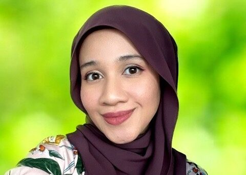
Meet the Scientist Azizi ‘Meet the Scientist’ is a short feature series in which we get to know the people behind the work done at Borneo Futures ‘Meet the Scientist’ is a short feature series in which we get to know the people behind the work done at Borneo Futures – who they are, where they came from, and where they are going. The voices of young and junior scientists are often lost in a sector often dominated by big names and institutions. This series aims to give back the voice to the changemakers of tomorrow and showcase the hard work they do to make Borneo Futures what it is today. In this edition of Meet the Scientist, we are talking to the newest member of our team, lead application developer for our novel citizen science-based programmes, Azizi Sabri. A developer by trade, Azizi is new to the conservation sphere but already eager to grow into his role and learn the ins, outs, and idiosyncrasies of this industry. Azizi’s journey to this role is all but textbook. Having studied linguistics – poetry, literature, sociology and the like, falling into the world of mobile development was a happy accident; a ‘pleasant surprise’, in his words. It was in the early stages of his career that he discovered a desire to challenge himself and aim higher. When the opportunity to earn a scholarship in IT presented itself, he embraced it as the first step toward building his future. A year into the course, Azizi found he had a knack for application development. It made sense, and it excited him. Sensing the rise of mobile apps, he decided to focus entirely on mobile development rather than dividing his attention with web. That focus became a turning point in his career. His newfound skills landed him several positions, but none had a spark. He longed for a role that let him be more creator than conduit. It was almost as if by fate that a position for a full-stack developer should be advertised when, finally, after several years at the same job, Azizi decided he needed a change. He had never heard of Borneo Futures, nor had he any particular connection to conservation science outside of his love for nature documentaries as a child, but he was intrigued and wanted to learn more. It didn’t take long for Azizi to recognise that this was the change he had been looking for. So, he applied and, not long after, was offered the position. As the lead application developer, Azizi feels validated and proud to take on this role. “I have a lot of experience, and being offered this position feels like recognition of that. I’m glad to finally apply my skills in a way that has real impact. I am glad to now have a practical application of my skills, where I have greater influence on the quality and best practices in place.” Not only has this new position introduced Azizi to the world of conservation, which, he tells me, ‘feels surreal’, but it will also support his career growth. When asked where Azizi sees himself in the future, he’s clear on what he wants – to hold a C-level position, preferably as a Chief Technological Officer (CTO). He knows his technical knowledge is up to par, but what he strives to gain is real-world experience in a management role before he can confidently move up the ranks. Developing an in-house application, which may later be scaled for global use, would offer him the opportunity to gain experience in what he calls ‘leading a team of teams’. This is why, outside of application development, Azizi is determined to be an integral team player at Borneo Futures – helping to improve processes at all levels of the company and across projects. He might not have an advanced degree, something that troubled him initially, but his willingness to keep learning and commitment to deep involvement in his projects and craft are what make him an asset to our team. “Throughout my career, I am always learning that there is so much more to know – you’re never an expert and recognising that is key to your success”. From poetry to programming, Azizi’s journey shows that unconventional paths can lead to impactful places. Welcome to the team, Azizi. We can’t wait to see where you take us.

Meet the Scientist

Meet the Scientist: Muiz

Meet the Scientist Muiz ‘Meet the Scientist’ is a short feature series in which we get to know the people behind the work done at Borneo Futures ‘Meet the Scientist’ is a short feature series in which we get to know the people behind the work done at Borneo Futures – who they are, where they came from, and where they are going. The voices of young and junior scientists are often lost in a sector often dominated by big names and institutions. This series aims to give back the voice to the changemakers of tomorrow and showcase the hard work they do to make Borneo Futures what it is today. In this edition of Meet the Scientist, we introduce Mu’iz Wafiy, a Geographic Information System (GIS) Technician at Borneo Futures, who joined the team in February 2024. His expertise involves working with spatial data to map, visualize, and analyse environmental and development projects. Like many members of the Borneo Futures GIS team, Mu’iz was first introduced to the subject during his undergraduate studies at Universiti Brunei Darussalam. He describes his first impressions of this new subject as one that is complicated, but full of potential. Reflecting on his early experience, Mu’iz shares “As I explored its capabilities, I realized that GIS is a powerful tool with diverse applications, particularly in spatial data analysis and visualization”. Once he understood its role in modern development and decision-making, his interest was sparked, and he saw himself pursuing a career in GIS. Mu’iz’s early interest in geography began in his A-levels, where he developed a keen enthusiasm for physical geography. Initially, he aspired to apply his GIS expertise in meteorology. To explore this path, he interned at the Brunei Darussalam Meteorological Department. However, he soon realized that a career in meteorology required specialized knowledge beyond his BA in Geography, Environment, and Development. Determined to refine his skills, Mu’iz expanded his knowledge of GIS, through university assignments and independent learning, using free tools such as YouTube tutorials and QGIS. In his final year at university, Mu’iz received formal training in ArcGIS Pro from a GIS engineer at NiAT, a Brunei-based company. He applied the skills he developed during this training to his final-year thesis, which evaluated land use changes in Brunei. Mu’iz credits the extensive experience in GIS that he gained through engaged mentorship and unique opportunities during his studies for shaping his career. “Working on various GIS-based assignments, research and thesis projects strengthened my ability to analyse spatial data, create maps and conduct spatial analyses. This experience enabled me to transition into a professional GIS role at Borneo Futures”. In his current position, Mu’iz values the hands-on experience using GIS in a professional setting that Borneo Futures provides. He acknowledges that adapting to a fast-paced work environment was initially challenging, but with guidance from his supervisors, Nabillah and Safwanah, he has become a more confident and capable GIS technician. During his time at Borneo Futures, Mu’iz has worked on several projects, but his proudest achievement is seeing his improvement in completing RSPO Land Use Change Analyses (LUCAs) through consistent practice and guidance from his supervisors. Another milestone was leading the Borneo Futures at the World GIS Day event, hosted by the Survey Department of Brunei Darussalam, which Mu’iz said to be “a rewarding experience to showcase our company’s expertise in GIS and increase public awareness of its applications”. The future has a lot in store for Mu’iz. Recognizing that GIS remains underutilized in Brunei, Mu’iz wants to champion the subject and advocate for greater investment in GIS development and local expertise. His long-term goal is to pursue a master’s degree in Geospatial Sciences, strengthening his ability to contribute to Brunei’s growing GIS industry. In the meantime, he remains committed to expanding his technical skills and tackling new challenges at Borneo Futures. “I believe career growth is a continuous journey, and I will always seek new opportunities for learning and professional development to reach my full potential in the geospatial field”.

Meet the Scientist

Meet the Scientist: Safwanah

Meet the Scientist Safwanah ‘Meet the Scientist’ is a short feature series in which we get to know the people behind the work done at Borneo Futures ‘Meet the Scientist’ is a short feature series in which we get to know the people behind the work done at Borneo Futures – who they are, where they came from, and where they are going. The voices of young and junior scientists are often lost in a sector often dominated by big names and institutions. This series aims to give back the voice to the changemakers of tomorrow and showcase the hard work they do to make Borneo Futures what it is today. In this first edition, I spoke with Safwanah Said, a leading spatial analyst at Borneo Futures. Safwanah first joined Borneo Futures in 2020, as a research officer with a focus on GIS Geospatial Mapping. Throughout her time at Borneo Futures, she has progressed through the ranks to become a confident spatial analyst taking a leading role in Land Use Change (LUC) analyses, mapping, and spatial elements of research studies and other projects. Safwanah’s primary interest at Borneo Futures is conducting critical habitat assessments, where she can use her varied skill base to determine the natural and modified habitat of a project area to generate multi- factorial maps. Safwanah developed her passion for GIS after taking a short module on the topic as part of her undergraduate studies in Environmental Sciences, which she completed in Brunei Darussalam. The module introduced her to ArcGIS and its applications. In her final year of study, where she was able to complete a semester abroad at Kings College London to study remote sensing. Her interest was sparked, but she had no avenues through which to explore it further. Later, Safwanah completed a master’s degree in Water Resources and Environmental Engingeering, where she could apply the knowledge and expertise she had gained during her undergraduate studies to complete a Master’s thesis that used GIS as a central component. Despite her strong foundation in GIS and spatial analysis, Safwanah entered the workforce with very few opportunities to apply her skills and unique interests. As a logical progression from her studies, Safwanah took a position as an environmental engineer at a local Bruneian company. However, she soon realised that this was not the trade for her. “It was not what I had expected. Environmental engineering, in practice, is very different to what we studied at university. I felt that it was far more technical and engineering-focused than I had imagined.” Still on the lookout for jobs in GIS, Safwanah came across an interesting call for a position at Borneo Futures. “I was really excited when the job opening came up. I was worried when I applied because I hadn’t worked in GIS before, but the mentorship I have received throughout my employment really helped and allowed me to do things I didn’t think I could.” Safwanah believes that working at Borneo Futures has broadened her horizons. She wishes that there were more opportunities like this in Brunei, not only from a GIS perspective but also as a company that actively engages with a range of actors from different countries and sectors. She comments that before joining Borneo Futures, she had never wanted to leave Brunei, but having been involved in projects abroad and seeing team members further their studies and careers in places such as Singapore, has introduced her to many more opportunities and allowed her to recognize that her options are not limited to what Brunei has to offer. When asked about aspirations for the future, Safwanah lit up. She has a lot of plans and great ambitions. It is obvious she is truly inspired by her work. In the short term, Safwanah would like to be involved in more research studies with a larger contributing role that could see her as one of the leading names on an article. She is also very interested in the ongoing High Conservation Value (HCV/HCS) work at Borneo Futures and, through her personal research, has found that there is a growing market for HCV assessments in Southeast Asian countries, including Brunei. “I was surprised and happy to learn that the Bruneian government is placing a growing emphasis on the value of HCV assessments. I want to start looking at these jobs early and making sure I am prepared and a highly skilled candidate.” Knowing that there are few opportunities for spatial analysts in Brunei, let alone HCV specialists, Safwanah is excited about the prospect of being a candidate with significantly more experience than others, especially in the environmental realm. However, Safwanah’s eyes are set on furthering her education first. “I would like to pursue another Master’s degree that highlights my knowledge of GIS and remote sensing. It’s easy to say that you have experience from a job, but having a qualification seems more official and a guarantee that you have the skills.” Ultimately, Safwanah would like to become a certified GIS professional, for which she would need to complete a course and pass a certification exam. She believes that attaining a professional certification would open up even more opportunities for her, including those abroad, but also recognizes that it would be good for Borneo Futures to have a GIS specialist on the team. At the moment, these goals still seem daunting to Safwanah, but she feels that having worked at Borneo Futures with such a close team has helped her to build her confidence. She believes that after completing her short-term goals at the Company she will have the courage and ability to take on something challenging and out of her comfort zone.

Meet the Scientist

Meet the Scientist: Wano

Meet the Scientist Wano ‘Meet the Scientist’ is a short feature series in which we get to know the people behind the work done at Borneo Futures ‘Meet the Scientist’ is a short feature series in which we get to know the people behind the work done at Borneo Futures – who they are, where they came from, and where they are going. The voices of young and junior scientists are often lost in a sector often dominated by big names and institutions. This series aims to give back the voice to the changemakers of tomorrow and showcase the hard work they do to make Borneo Futures what it is today. In this edition, I spoke to Wano, an environmental analyst and external engagement coordinator at Borneo Futures. A valued member of the team, Wano works across several projects related to conservation and sustainability, with a focus on geospatial science. He is currently taking the lead on Borneo Futures’ pilot program, the Orangutan Guardians, where we are working to monetize and incentivize community-based biodiversity monitoring and protection. Wano is principally a geospatial expert, having studied geology at the undergraduate level and geosciences at the postgraduate. Wano’s Master’s thesis involved a Brunei-wide analysis of peat soils; a group project that he led and the first study of its kind in Brunei. He tells me that the study also went against the perception in Brunei that the only pathway for geology graduates is a career in oil and gas. He knew, after completing the study, that he saw himself working in the field with people and the environment, not stuck in an office conceptualizing organic chemistry. Wano started his career in a financial institution, but quickly changed paths when Borneo Future’s contacted him with regards to his peat soils study. “I wanted to go back to my roots. It was an easy decision”. As a new company in Brunei, Wano was slightly sceptical about taking on a full-time position at Borneo Futures, but with the offer of lots of projects coming in, such as the Orangutan Guardians, PENDAKI review, and working on the IUCN report on the vegetable oil industry, he knew he had made the right decision. Initially, Wano’s focus was on geology, but the range of projects he has been involved in has exposed him to a range of subject areas which he finds interesting, including sustainability, land use change and, most recently, High Conversation Value/High Carbon Stock (HCV/HCS) assessments. The latter was the reason for a recent trip to Indonesia, where Wano completed a training course to become a certified HCV/HCS assessor. He found the experience very rewarding, and loved Indonesia; so much so that he would very seriously consider working there. During his 18 months at Borneo Futures, Wano has grown into the position and taken everything in his stride. He has pushed himself out of his comfort zone and undertaken projects he never thought he would. His proudest achievement was his very first project, a climate risk assessment to which he devoted a huge amount of time. He also found great value in digitizing the maps for the Orangutan Guardian project, particularly when he visited the communities and found how much they appreciated his work. Moving forward, Wano says he would like to be involved in more soil science and peat studies, as this is his area of expertise. He also believes that there is significant potential for using AI within Borneo Futures to optimize our projects, and would like to be involved in such a programme should the opportunity arise. When he becomes a certified HCV/HCS assessor, of which he would be the first in Brunei, he would like to take the lead in undertaking and seeking out these assessments for the company. When asked about a future beyond Borneo Futures, Wano tells me he would like to work at the intersection of conservation and geology, as he predicts a gap in the market that will desperately need to be filled in the near future. He also wants to further his skills in environmental policy and working with communities to promote conservation. Ultimately, however, Wano wants to be seen as a reliable professional that anyone can trust to get the job done. It was a pleasure to speak to Wano, and he strikes me to be someone with great ambition. He left me with some key insights into conservation that truly resonated with me and are wholly applicable to not only the environmental sector but all those who wish to address global problems at the local level. “Conservation is so interdisciplinary – we cannot address one element without considering the others. A lot of people look at conservation as a preservation of nature but it’s really about making sure that people and the environment can co- exist. Like the orangutan guardians, they live there, they experience the environment. Who are we to tell them what to do? Scientists and policymakers need to change our ways and focus on helping communities to help the environment.”

Meet the Scientist

Meet the Scientist: Thina

Meet the Scientist Thina ‘Meet the Scientist’ is a short feature series in which we get to know the people behind the work done at Borneo Futures ‘Meet the Scientist’ is a short feature series in which we get to know the people behind the work done at Borneo Futures – who they are, where they came from, and where they are going. The voices of young and junior scientists are often lost in a sector often dominated by big names and institutions. This series aims to give back the voice to the changemakers of tomorrow and showcase the hard work they do to make Borneo Futures what it is today. In this special edition, I spoke to Thina Ariffin, who is currently on sabbatical from Borneo Futures to pursue her Master’s in Biodiversity Conservation and Sustainability at the prestigious National University of Singapore. We caught up via video call from the University library in a rare free moment within Thina’s intense and demanding study schedule. Thina joined Borneo Futures in 2020 as a part-time research assistant, and later took on a full-time role in 2021 as an environmental analyst and external engagement coordinator, where she worked closely with the directors to establish first contact with stakeholders, environmental consultancies, and communities. Prior to Borneo Futures, Thina held a job in occupational health and safety. She tells me that this was not her preferred profession, but as many other team members have commented, the career market in Brunei is limited – “finding a job in the environment sector is almost impossible”. Having studied environmental science and technology at Universiti Putra Malaysia, Thina was intrigued when she saw an opening at Borneo Futures and knew she had to apply. Her employment introduced her to the possibilities of work related to conservation, the environment, and sustainability, and helped to develop the skills she gained in her undergraduate studies as well as allow her to find her niche, which has led to her pursuing her current Master’s. Thina’s proudest achievement during her time at Borneo Futures was leading the Baseline Study of Sun Bears in Brunei, a collaborative effort with the government and university. Under the supervision of Professor Erik Meijaard, Thina coordinated a country-wide interview survey on the species, which led to the development of a conservation priority map and key recommendations for future conservation efforts. This project not only allowed her to work closely with diverse stakeholders but also deepened her understanding of conservation science in action.    As for the future, she isn’t sure, but she’s grateful for the experience she gained at Borneo Futures and the work helped her to discover her passion first ignited in a small high school project on sustainable materials. She values continuous learning and professional development and believes that this will set her up for a long and rewarding career. Right now, she tells me, she is just trying to survive her degree and come out with the best results she can. Ultimately, Thina sees herself working at the interface of environment and policy. Baseline Study of Sun Bears in Brunei Darussalam cover page

Scroll to Top