Rona Dennis
Director, Head of Geospatial Unit
BSc (Physical Geography), MSc (Environmental Remote Sensing), PgCert(Sustainable Development)
📍 Brunei Darussalam, Greece
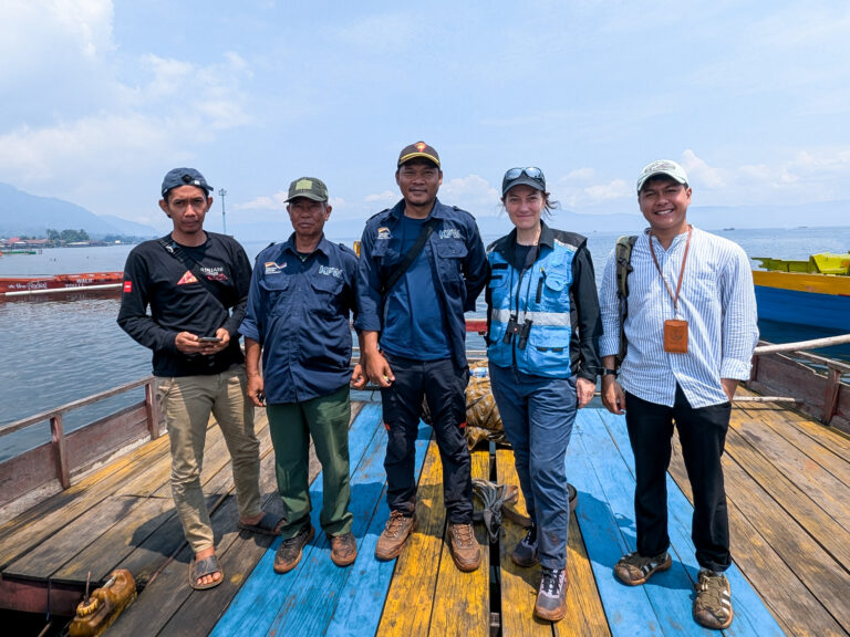
Rona Dennis is a Director and Geospatial Lead at Borneo Futures, where she oversees daily operations, technical leadership, and strategic guidance. Her current focus is Borneo Futures’ citizen science programme, which includes innovative wildlife monitoring in production landscapes and with Indigenous and Local Communities. Alongside this, Rona plays a leading role in all geospatial projects and regularly contributes to scientific research. She also assumes a vital mentoring role within both the geospatial unit and the broader organization.
Rona brings over 30 years of experience in geospatial science, biodiversity conservation and environmental management in Southeast Asia. She holds a Master of Science in Environmental Remote Sensing and GIS from the University of Aberdeen, which first brought her to work with the Indonesian Ministry of Forestry in 1992. Her technical expertise is deeply rooted in the application of geospatial techniques in biodiversity management, specifically in mapping of land cover change including extensive research into the underlying causes and impacts of land and forest fires in Indonesia.
Throughout her career, Rona has held senior roles across government, civil society, research, and the private sector, including significant time at BHP Billiton. She has provided high-level technical expertise to international multilateral institutions, such as the World Bank and the International Finance Corporation on renewable and infrastructure projects. Her work spans the natural resources, energy, extractives, forestry, and oil palm sectors, with a consistent focus on biodiversity and the interface between environmental and social systems.
Countries I work in
Brunei Darussalam, Indonesia, Chile, Brazil, Australia, Spain, Pakistan, China, Peru
Expertise
Remote Sensing, GIS, Conservation Science, Citizen Science, Land Use Change Analyses, Land and Forest Fire Mapping, Corporate Sustainability Reporting, Environmental Risk Assessment, Stakeholder Engagement, Mentoring and Training
Publications
- Maharani, N., Nardiyono, Munthe, C.R., Swayanuar, P., Ni’Matullah, S., Sueif, S., Zaini, S., Supriatna, J., Kusrini, M., Dennis, R., van Balen, B., van Strien, A., Meijaard, E., (2025). A novel citizen science-based wildlife monitoring and management tool for oil palm plantations. bioRxiv, 2025.2001.2012.632638.
- Meijaard E., Ni’matullah S., Dennis R., Sherman J., Onrizal, Wich S. A. (2021). The historical range and drivers of decline of the Tapanuli orangutan. PLOS ONE 16, e0238087.
- Dennis, R., Mayer, J., Applegate, G.B., Chokkalingam, U., Colfer, C.J.P., Kurniawan, I., Lachowski, H., Maus, P., Permana, R.P., Ruchait, Y., Stolle, F., Suyanto, S., and T. Tomich. (2005). Fire, people and pixels: Linking social science remote sensing to understand underlying causes and impacts of fires in Indonesia. Human Ecology 33 (4), 465-504.
- Dennis, R., Meijaard, E., Nasi, R. and Gustafsson, L. (2008). Biodiversity conservation in SE Asian timber concessions: An overview of the implementation of guidelines and recommendations. Ecology & Society 13(1): 25. [online] URL: http://www.ecologyandsociety.org/vol13/iss1/art25/
- Wadley, R. L., C. J. P. Colfer, R. Dennis, and J. Aglionby. (2010). The ‘Social Life’ of Conservation: Lessons from Danau Sentarum – art. no. 39. Ecology & Society 15:39.
- Dennis, R., and Colfer, C.J.P. (2006). The impacts of land use and fire on the loss and degradation of lowland forest in 1983-2000 in East Kutai District, East Kalimantan, Indonesia. Singapore Journal of Tropical Geography 27 (1), 30-48.
- Nasi, R., Dennis, R., Meijaard, E., Applegate, G. and Moore, P. (2002). Impacts of human-induced fires on biodiversity and ecosystem functioning, and their causes in tropical, temperate and boreal forest biomes. Unasylva 53(209): 36–40.