Meet the Scientist
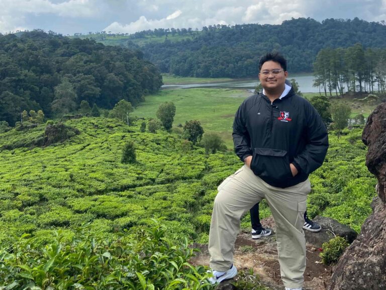
Muiz
‘Meet the Scientist’ is a short feature series in which we get to know the people behind the work done at Borneo Futures
‘Meet the Scientist’ is a short feature series in which we get to know the people behind the work done at Borneo Futures – who they are, where they came from, and where they are going. The voices of young and junior scientists are often lost in a sector often dominated by big names and institutions. This series aims to give back the voice to the changemakers of tomorrow and showcase the hard work they do to make Borneo Futures what it is today.
In this edition of Meet the Scientist, we introduce Mu’iz Wafiy, a Geographic Information System (GIS) Technician at Borneo Futures, who joined the team in February 2024. His expertise involves working with spatial data to map, visualize, and analyse environmental and development projects.
Like many members of the Borneo Futures GIS team, Mu’iz was first introduced to the subject during his undergraduate studies at Universiti Brunei Darussalam. He describes his first impressions of this new subject as one that is complicated, but full of potential. Reflecting on his early experience, Mu’iz shares “As I explored its capabilities, I realized that GIS is a powerful tool with diverse applications, particularly in spatial data analysis and visualization”. Once he understood its role in modern development and decision-making, his interest was sparked, and he saw himself pursuing a career in GIS.
Mu’iz’s early interest in geography began in his A-levels, where he developed a keen enthusiasm for physical geography. Initially, he aspired to apply his GIS expertise in meteorology. To explore this path, he interned at the Brunei Darussalam Meteorological Department. However, he soon realized that a career in meteorology required specialized knowledge beyond his BA in Geography, Environment, and Development.
Determined to refine his skills, Mu’iz expanded his knowledge of GIS, through university assignments and independent learning, using free tools such as YouTube tutorials and QGIS. In his final year at university, Mu’iz received formal training in ArcGIS Pro from a GIS engineer at NiAT, a Brunei-based company. He applied the skills he developed during this training to his final-year thesis, which evaluated land use changes in Brunei.
Mu’iz credits the extensive experience in GIS that he gained through engaged mentorship and unique opportunities during his studies for shaping his career. “Working on various GIS-based assignments, research and thesis projects strengthened my ability to analyse spatial data, create maps and conduct spatial analyses. This experience enabled me to transition into a professional GIS role at Borneo Futures”.
In his current position, Mu’iz values the hands-on experience using GIS in a professional setting that Borneo Futures provides. He acknowledges that adapting to a fast-paced work environment was initially challenging, but with guidance from his supervisors, Nabillah and Safwanah, he has become a more confident and capable GIS technician.
During his time at Borneo Futures, Mu’iz has worked on several projects, but his proudest achievement is seeing his improvement in completing RSPO Land Use Change Analyses (LUCAs) through consistent practice and guidance from his supervisors. Another milestone was leading the Borneo Futures at the World GIS Day event, hosted by the Survey Department of Brunei Darussalam, which Mu’iz said to be “a rewarding experience to showcase our company’s expertise in GIS and increase public awareness of its applications”.
The future has a lot in store for Mu’iz. Recognizing that GIS remains underutilized in Brunei, Mu’iz wants to champion the subject and advocate for greater investment in GIS development and local expertise. His long-term goal is to pursue a master’s degree in Geospatial Sciences, strengthening his ability to contribute to Brunei’s growing GIS industry. In the meantime, he remains committed to expanding his technical skills and tackling new challenges at Borneo Futures.
“I believe career growth is a continuous journey, and I will always seek new opportunities for learning and professional development to reach my full potential in the geospatial field”.