
Countries I work in
Brunei Darussalam
Expertise
Mu’iz is Geographic Information System (GIS) Technician at Borneo Futures, who joined the team in February 2024. His expertise involves working with spatial data to map, visualize, and analyse environmental and development projects.
He was first introduced to the subject during his undergraduate studies at Universiti Brunei Darussalam. In his final year at university, Mu’iz received formal training in ArcGIS Pro from a GIS engineer at NiAT, a Brunei-based company. He applied the skills he developed during this training to his final-year thesis, which evaluated land use changes in Brunei.
During his time at Borneo Futures, Mu’iz has made a significant contribution to Land Use Change Analyses and, recently, developed crucial imagery to support a landmark study on the catastrophic impacts of an extreme rainfall even in Sumatra on the population of the critically endangered Tapanuli orangutan.
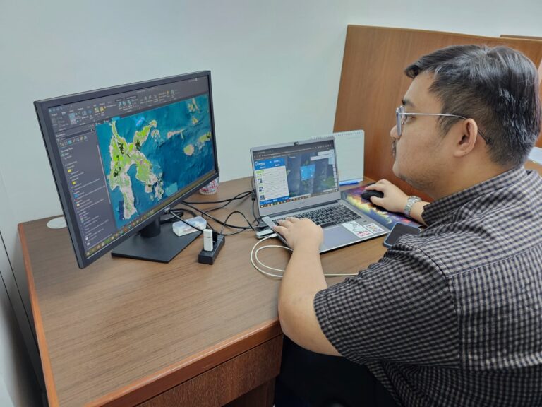
His core responsibilities include conducting RSPO Land Use Change (LUC) analyses, performing land use and land cover change analyses using multi-temporal satellite imagery, excecuting GIS and remote sensing analyses to identify land conversion, deforestation, and compliance status; and managing spatial data, which he uses in preparing technical outputs for reporting and verification.
Recognizing that GIS remains underutilized in Brunei, Mu’iz wants to champion the subject and advocate for greater investment in GIS development and local expertise. His long-term goal is to pursue a master’s degree in Geospatial Sciences, strengthening his ability to contribute to Brunei’s growing GIS industry.